Twenty-three intereting ways to use google earth in the classroom
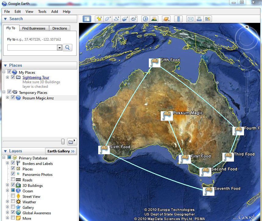
This image is of a googlelittrip made from Mem Fox's Possum Magic.
Google Maps
The advantage of google maps is that you do not have to download the software on to your computer. Google maps is not just for locating places, but by using the edit facility, maps can be personalised, placemarks and images added and routes highlighted. This enables the students to interact with the maps and they can make their own map of their neighbourhood, create a walking tour, identify the features in their surrounds. Data such as population and employment can be collected and added to the maps. I did have a brief play and found it not too difficult to use...but like all of the digital tools a little time consuming at first.
Flickr maps
Have a look....maps and images.
No comments:
Post a Comment